Turning data about global change into clear, trustworthy answers so the people closest to the problem can act in minutes, not months.
From analysts at the desk to operators in the field, Ursa Space delivers the answers that drive critical decisions.
The Satellite Age, For Everyone.
Ursa Space was founded in 2014 when getting satellite data was slow, complex, and often out of reach. The company’s mission was to remove that friction, making geospatial insights accessible and understandable.
That mission hasn’t changed. Today, powered by a decade of SAR analytic expertise, hundreds of data providers, and a powerful geoAI platform, we deliver faster, smarter insights to government agencies and commercial enterprises across the globe.
Our AI-native platform, draws from multi-modal data sources to deliver a contextual, comprehensive solution that goes beyond surface-level observation. It is change explained®.
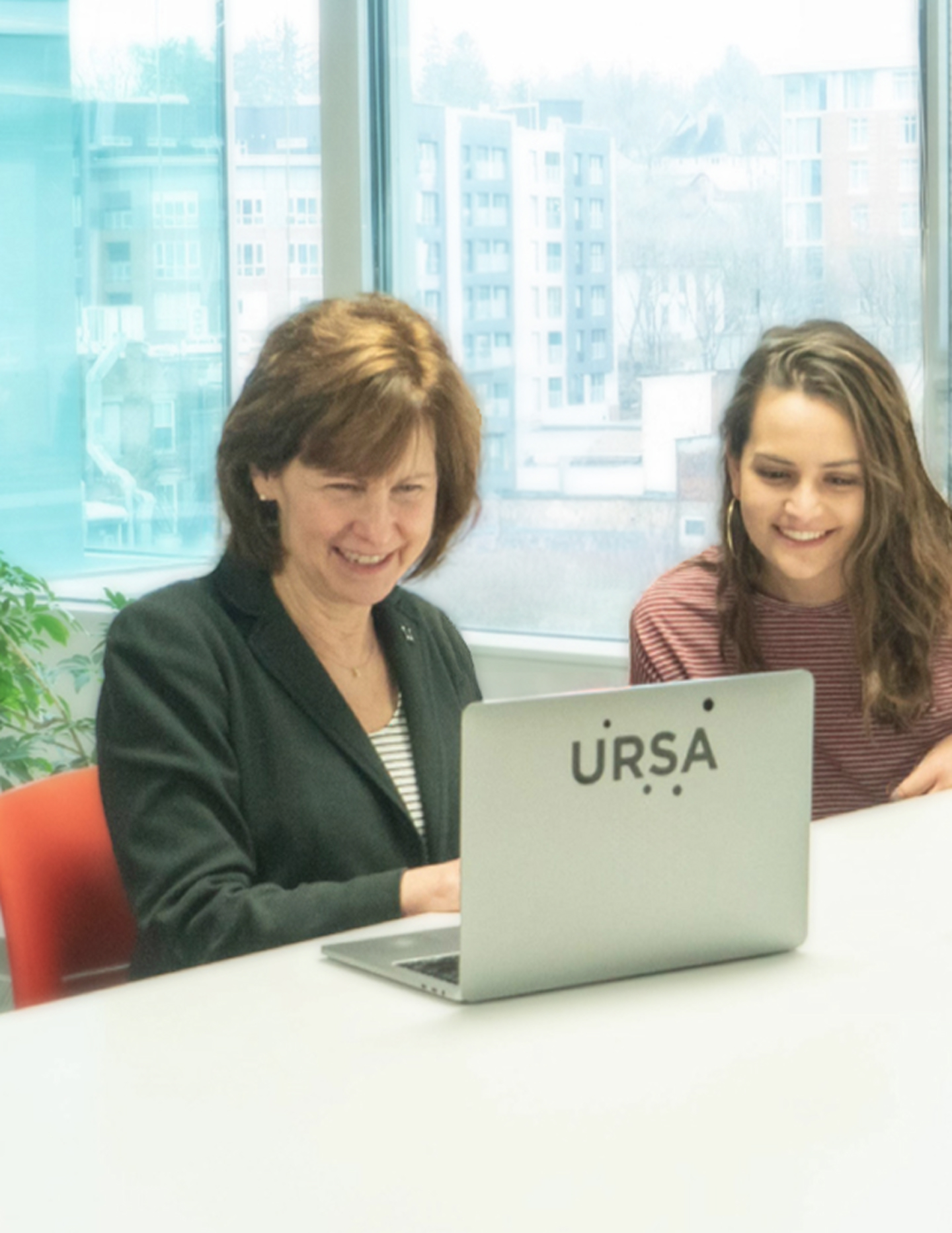
Our Team of Experts
Democratizing geospatial insights requires fluency across remote sensing, data science, GIS, and domain-specific expertise. Very few organizations bring this full spectrum of capability together under one roof.

Adam Maher
CEO & Co-founder


Julie Baker
COO & Co-founder

Mark Snell
CFO

Eric Bowen
CRO

Alistair Mitchell
CSO
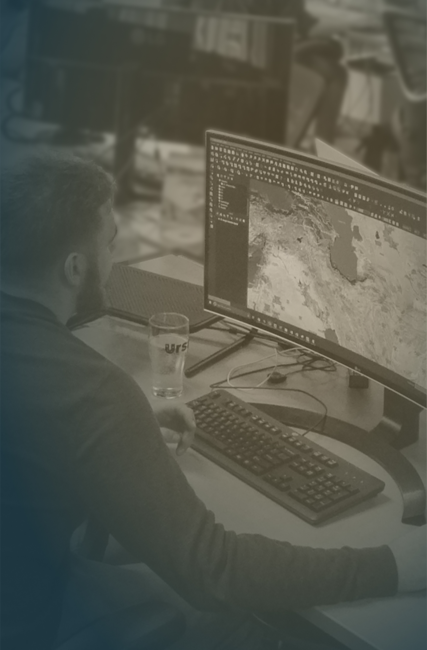
One Platform, Many Solutions
1
Work that matters
Support national security, disaster response, environmental monitoring, and global market transparency.
2
Innovation culture
We foster an environment where curiosity is rewarded, encouraging our team to redefine what’s possible in geospatial intelligence.
3
Deep, multidisciplinary expertise
You will work alongside remote sensing scientists, AI engineers, GIS specialists, and domain experts.
4
Competitive compensation & benefits
Competitive salary, equity participation, health benefits, flexible paid time off, and professional development support.