10 Million SAR Images and Counting
Share article

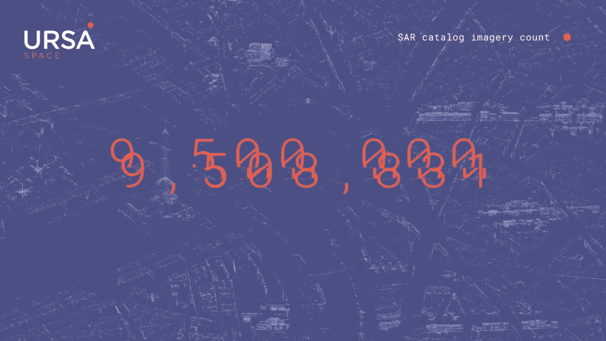
If you frequent the Ursa Platform, you’ve probably noticed our SAR image counter. Each week, this number ticks higher and higher as we receive imagery from around the globe, collected by data partners in our Virtual Constellation.
Today we celebrate an important milestone – exceeding 10 million SAR images in our virtual database. With such a large image database from multiple sources all under one roof, our growing database offers the end-user a one-stop source for all their imagery and tasking needs.
Adam Maher, Ursa’s co-founder and CEO, recalls how different the process was when the company began.
“When we initially launched Ursa in 2014, there was no such thing as an online portal,” he said.
“One of the most common ways to ship the data was not over the internet, but by shipping or overnighting a hard drive. Now we have all the back end infrastructure in place, to where you can order straight from the Ursa platform. Within 24 hours, you can now have thousands of images delivered, versus the early days of one or two images over the course of 5 days. That’s an incredible jump from where we started.”
WHAT IS THE URSA VIRTUAL CONSTELLATION?
We hold the world’s largest network of SAR satellites from 10+ vendor partners. Satellite pioneers in our database include Airbus, Capella, eGeos, ESA, ICEYE, MDA, PASCO, SIIS, and Umbra. The benefit of collecting imagery from multiple providers is a reliable safety net in case unexpected maintenance or availability issues arise with a single vendor.
“We have vendor partners that we work with from around the world,” Adam said. “Everywhere from Asia, South America to Europe and North America. Having that diversity of suppliers from around the world gives us these full constellation capabilities. In bringing this community together, we can rapidly see changes on Earth’s surface almost immediately.”
Most recently, thanks to the SpaceX Transporter-3 rideshare, a number of our partners were able to get more satellites into orbit mid-January. More satellites in the sky means more images for our Virtual Constellation - allowing for rapid decision making from the ground.
We only partner with the most trusted SAR, optical, and RF satellite data vendors around the globe and collect an average of 100,000 images per month from our Virtual Constellation partners. Thanks to their expertise in capturing these SAR images from their satellites in orbit, our database is able to grow so rapidly.
“The vendors we work with have really interesting capabilities,” said Adam. “And each of them are highly skilled at what they do. By having all of these unique assets that we can provide to our customers, it allows Ursa to take this great capability and bring it to as many individuals as possible. We can grow the user base, and increase the overall visibility of the world of what radar can do.”
Within the Ursa Platform, users instantly gain access to all of the imagery in each provider’s archives, as well as access to task new images from each provider’s satellite network. Starting in February, users will be able to order straight from the platform itself with the click of a button.
WHY SAR?
Make no mistake, optical imagery has its fair share of merits and is much closer to how the human eye would perceive earth’s surface. Where optical falls short is viewing through night fall or cloud coverage.
SAR, on the other hand, offers the ability to monitor changes any time of day or night and cut through cloud cover – a major obstacle which obscures 67% of the Earth at any time. With our proficiency in translating SAR data into standardized formats, we’re able to analyze patterns of earth at a deeper level, understanding behaviors over time and fusing data to understand change in a multi-faceted way.
While SAR utilization has grown over the years there are still challenges due in big part to its complexity, in addition to a lack of analytical tools and harder to come by access for users.
This is where Ursa’s expertise and infrastructure comes in – making SAR data analytics accessible and versatile. By leveraging our relationship with the most trusted satellite providers around the globe, we can focus on tangible insights. detecting real-time changes in the physical world and expanding transparency to the end user.
“For me personally,” Adam said, “I’ve been privileged enough to work with a great set of people all around – within our own team at Ursa, and alongside our Virtual Constellation. We’ve done something groundbreaking by making it possible for individuals and companies to order radar images and analytics from a complex database, and that in itself is integral to Ursa’s mission.”
Share article